

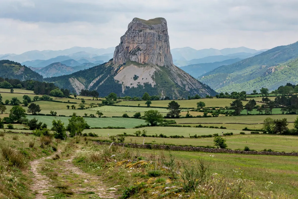
Mont Aiguille is a 2,086-metre landmark in the Trièves, in the commune of Chichilianne. Mens makes a practical starting point for a day trip, with options ranging from a viewpoint walk to a very difficult mountain loop.
- Location: Chichilianne, in the Trièves.
- Shorter hike: Pas de l’Aiguille, 8.3 km and 3 hours.
- Long loop: Tour du Mont Aiguille, 17.8 km and 7 hours.
- South-side access: La Richardière, near the Nordic centre.
L'Auberge de Mens in Mens is a starting point for planning the outing.
Why Mont Aiguille stands out in the Trièves
Mont Aiguille is a distinctive limestone summit with a place in the history of climbing. Antoine de Ville made the first recorded ascent in 1492; the Trièves tourism office describes the normal route as the historic route, probably used for that climb.
The mountain sits within the Hauts-Plateaux du Vercors landscape. Its prominence is part of the appeal of the area’s walking routes, which approach the summit from the surrounding valleys rather than offering an easy way to the top.
Viewpoints and approaches from Mens
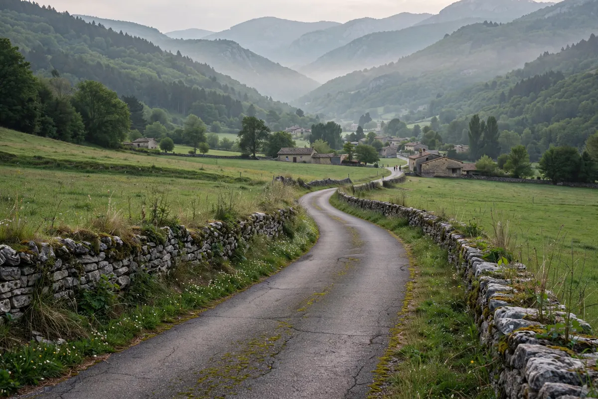
La Richardière in Chichilianne is the south-side parking and access point for Mont Aiguille, while La Bâtie near Saint-Michel-les-Portes in Gresse-en-Vercors is a north-side option.
For the Tour du Mont Aiguille, the marked loop starts at the parking area near the Nordic centre at La Richardière, at an altitude of 1,057 metres.
From Grenoble, take the A51 to Col du Fau, then follow the D1075 for 14 km; turn toward Chichilianne and, 2.3 km later, turn toward Richardière. The Trièves transport and access guide can help you plan the wider journey from Mens.
Choosing a walk or hike
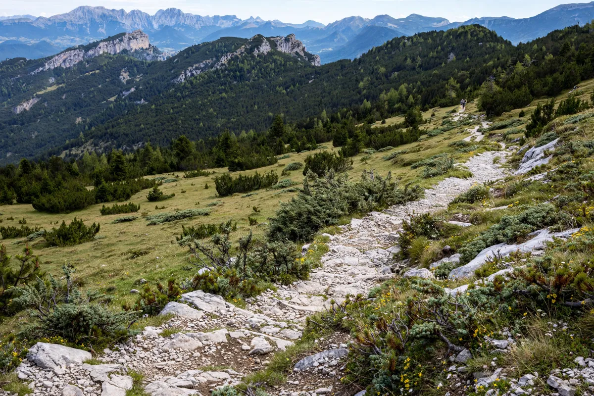
The Pas de l’Aiguille is the shorter viewpoint option at 8.3 km, with 581 metres of elevation gain and a duration of 3 hours. Its difficulty is described as “assez difficile.” The route gives a view of Mont Aiguille and passes a site associated with Second World War fighting.
Tour du Mont Aiguille
The Tour du Mont Aiguille is a 17.8 km loop with 1,092 metres of elevation gain and a duration of 7 hours. Rated very difficult, it is reserved for experienced hikers and is not accessible to wheelchair users.
Yellow-and-green markings guide the loop past Pont de Donnière, Les Fontaines, Les Ruines, Trézanne, the Col de Papavet, the Col des Pellas and the Col de l’Aupet.
Sous le regard du géant Mont-Aiguille
This 13.6 km loop starts beside Chichilianne church and takes 3 hours 30 minutes, with 479 metres of elevation gain. Its difficulty is “quite hard.” The route is marked yellow and green, is unsuitable for strollers and is not accessible to wheelchair users.
Weather, access and safety checks
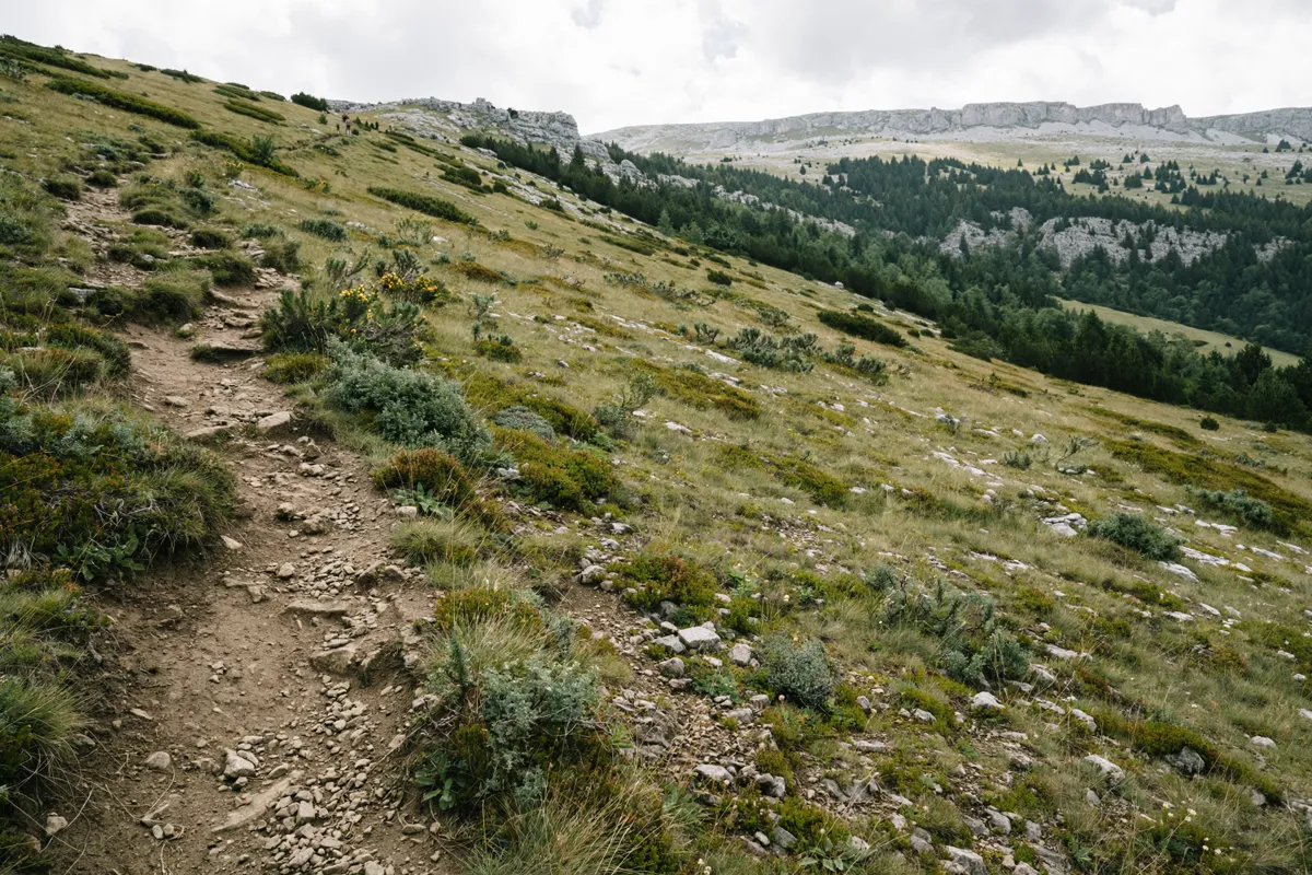
Mountain conditions can affect both access and footing, so check the official site before you go. The Tour du Mont Aiguille route description warns that snow patches may remain near the Col de l’Aupet in spring; technical sections can also be difficult and slippery in rainy weather.
Stay on marked paths and use designated crossing points for fences. The Tour enters the Hauts-Plateaux du Vercors Nature Reserve several times: dogs are prohibited, even on a lead, and fires and picking plants are not allowed.
Bivouacking is allowed in the reserve if you take the tent down each day, but bivouacking on Mont Aiguille’s summit meadow is prohibited.
Climbing Mont Aiguille is a separate undertaking from the hikes. The normal climbing route involves an approach walk of about 1 hour 30 minutes to the cliffs, and the descent includes a 50-metre abseil. The Trièves tourism office recommends suitable climbing equipment and supervision by a qualified person.
Planning the return to Mens
Allow for the full duration of your chosen route when planning the day. The Tour du Mont Aiguille takes 7 hours, while the Pas de l’Aiguille takes 3 hours and the loop from Chichilianne church takes 3 hours 30 minutes.
Public transport requires extra planning: Clelles-Mens is the nearest named train station, and the MEN05 school-coach line to Chichilianne runs on weekdays only. From Chichilianne, hikers must reach the trail start on foot or by hitchhiking.
Clelles can be reached by train or bus from Grenoble or Lyon, and the walk from Clelles to Chichilianne takes about an hour. For practical details about the town where you begin and end the day, consult this visitor guide to Mens.
FAQs
Can you climb to the summit of Mont Aiguille?
Yes, by the normal climbing route, which includes an approach walk and a 50-metre abseil on descent. Suitable climbing equipment and qualified supervision are recommended.
Is the Tour du Mont Aiguille suitable for beginners?
No. It is rated very difficult and reserved for experienced or confirmed hikers.
Can you take a dog on the Tour du Mont Aiguille?
No. Dogs are prohibited on the route because it enters the Hauts-Plateaux du Vercors Nature Reserve.